


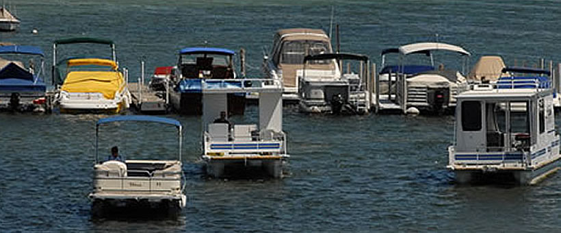
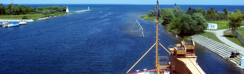
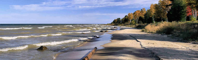


Weather information for the Cheboygan area is provided below. Average temperatures, climate details and current forecasts are included!
Climate
Monthly average temperatures and precipitation for Cheboygan are shown below.
| Jan | Feb | Mar | Apr | May | Jun | Jul | Aug | Sep | Oct | Nov | Dec | |
| Avg. High | 25° | 26° | 36° | 48° | 61° | 71° | 77° | 75° | 67° | 56° | 42° | 30° |
| Avg. Low | 8° | 7° | 17° | 30° | 40° | 50° | 57° | 55° | 48° | 38° | 28° | 16° |
| Daily Avg | 17° | 17° | 27° | 40° | 51° | 61° | 68° | 66° | 58° | 48° | 36° | 24° |
| Avg. Precip. | 1.5 in | 1.3 in | 1.7 in | 2.3 in | 2.5 in | 2.6 in | 2.8 in | 3.0 in | 3.9 in | 2.5 in | 2.4 in | 2.1 in |
| Note: All temperatures are in degrees Fahrenheit. | ||||||||||||
Live weather is currently unavailable.
Please visit weather.gov for current and forecasted weather.
Tonight
Rain
Wednesday
Rain
Wednesday Night
Snow Showers
Thursday
Chance Snow Showers then Mostly Cloudy
Thursday Night
Partly Cloudy
Friday
Partly Sunny
Detailed Forecast |
|
|---|---|
| Tonight | Rain and patchy fog. Cloudy. Low around 34, with temperatures rising to around 36 overnight. East wind 5 to 10 mph. Chance of precipitation is 100%. New rainfall amounts between a half and three quarters of an inch possible. |
| Wednesday | Rain and areas of fog. Cloudy. High near 39, with temperatures falling to around 37 in the afternoon. Northeast wind 10 to 15 mph. Chance of precipitation is 100%. New rainfall amounts between three quarters and one inch possible. |
| Wednesday Night | Rain likely and patchy fog before 7pm, then rain showers and patchy fog between 7pm and 8pm, then freezing rain and rain showers between 8pm and 9pm, then snow showers and sleet. Cloudy, with a low around 15. Wind chill values as low as 0. North wind 15 to 20 mph, with gusts as high as 35 mph. Chance of precipitation is 90%. New snow accumulation of less than half an inch possible. |
| Thursday | A chance of snow showers before 7am. Mostly cloudy, with a high near 29. Wind chill values as low as -1. Northwest wind 15 to 20 mph, with gusts as high as 35 mph. Chance of precipitation is 50%. New snow accumulation of less than half an inch possible. |
| Thursday Night | Partly cloudy, with a low around 20. West wind 5 to 15 mph. |
| Friday | Partly sunny, with a high near 31. |
| Friday Night | Mostly cloudy, with a low around 14. |
| Saturday | Mostly cloudy, with a high near 27. |
| Saturday Night | Mostly cloudy, with a low around 14. |
| Sunday | A chance of snow showers after 8am. Mostly cloudy, with a high near 31. |
| Sunday Night | A chance of snow showers before 2am. Mostly cloudy, with a low around 19. |
| Monday | Partly sunny, with a high near 40. |
| Monday Night | Mostly cloudy, with a low around 23. |
| Tuesday | Partly sunny, with a high near 47. |


